![]()
![]()
![]()
![]()
![]()
![]()
|
From The Bont to Troedyrhiw |
|||||||||||||
|
A series of photographs taken for insurance purposes by the Whitlocks Camera Club, Birmingham, covering the route of the 1946 New Trunk Sewer |
|||||||||||||
|
|
|||||||||||||
|
|||||||||||||
|
<Click on the Photograph To Enlarge> |
|||||||||||||
|
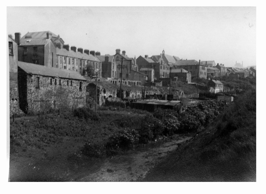
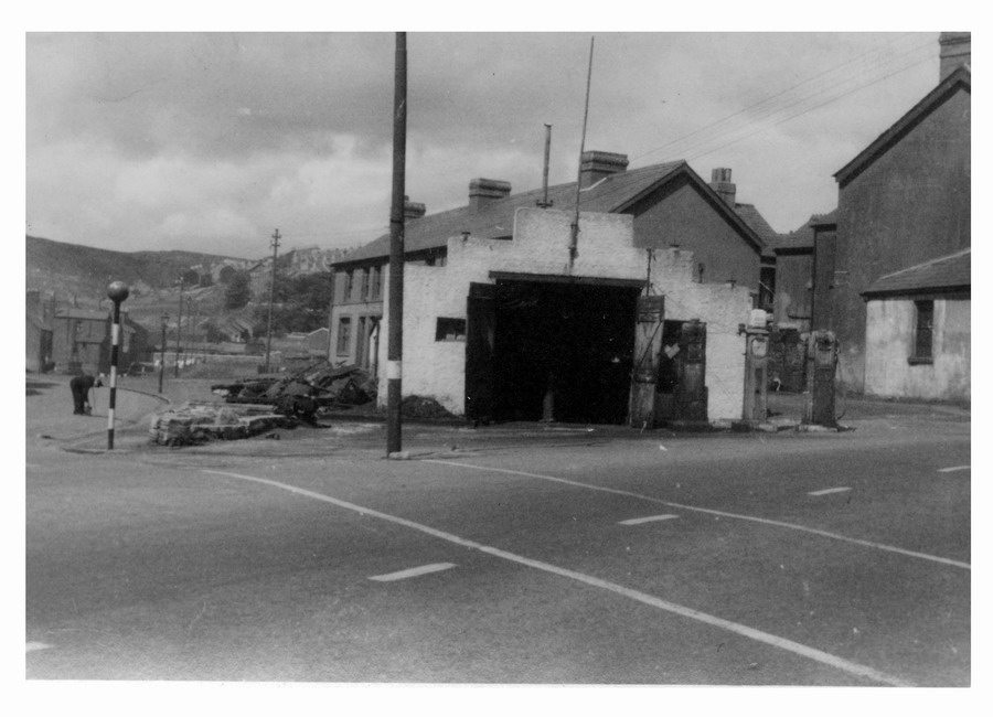
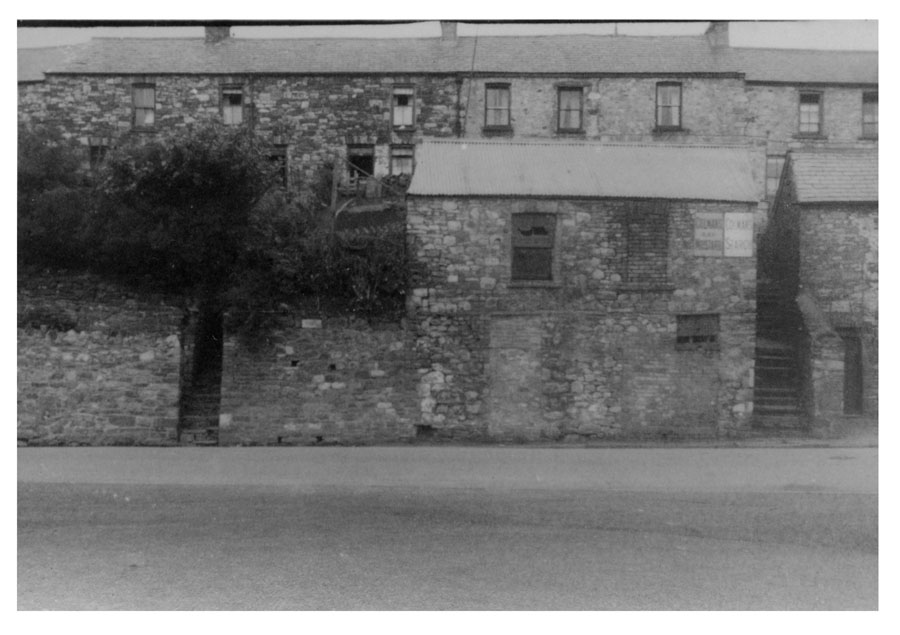
This is at the bottom of Elizabeth St where it met Lower High St Dowlais (today this would be close to the Council Yard) |
|||||||||||||
|
|
|||||||||||||
|
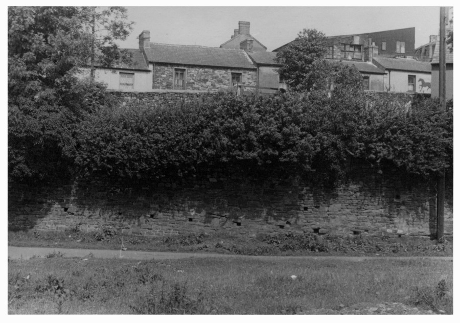
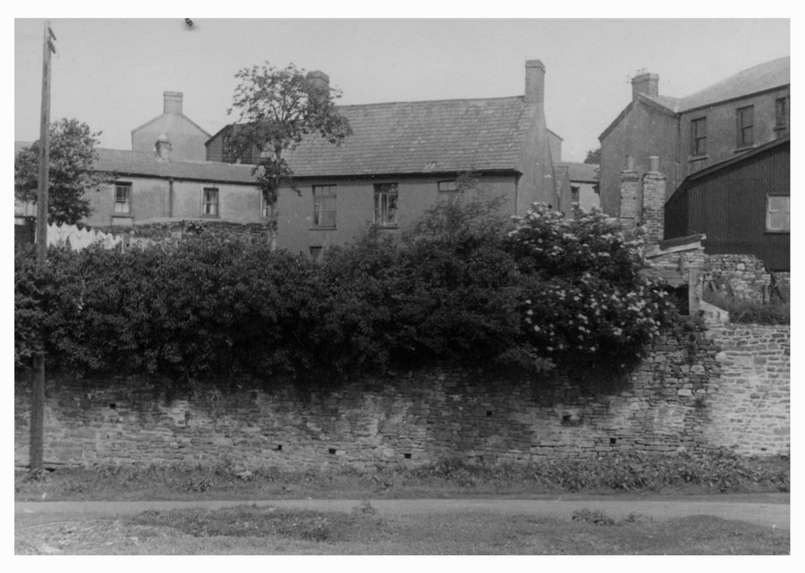
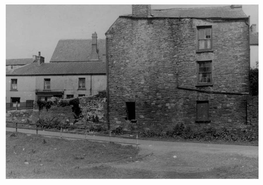
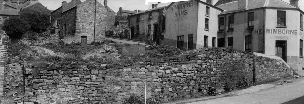
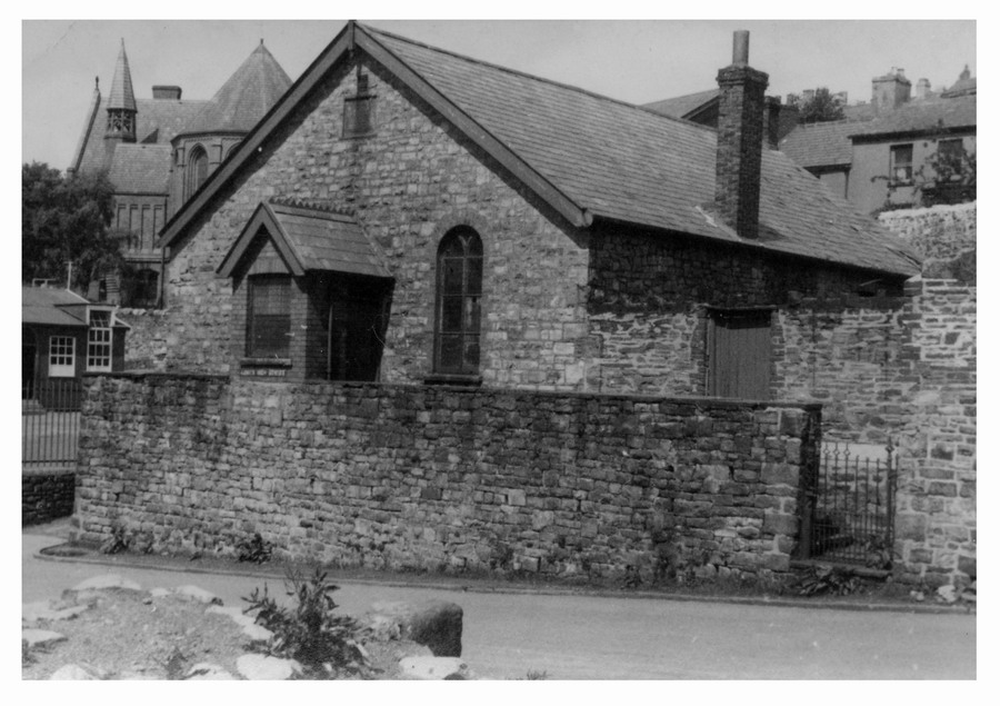
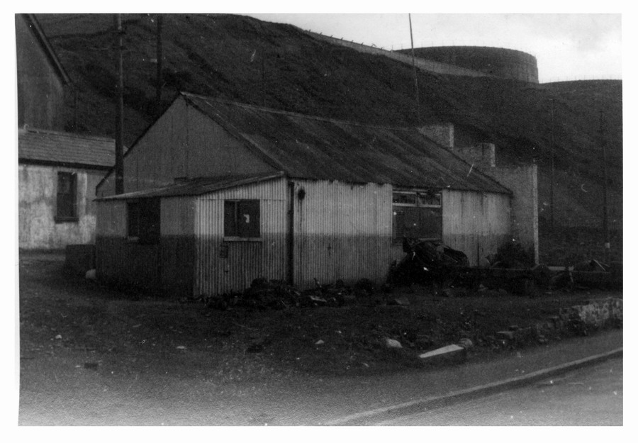
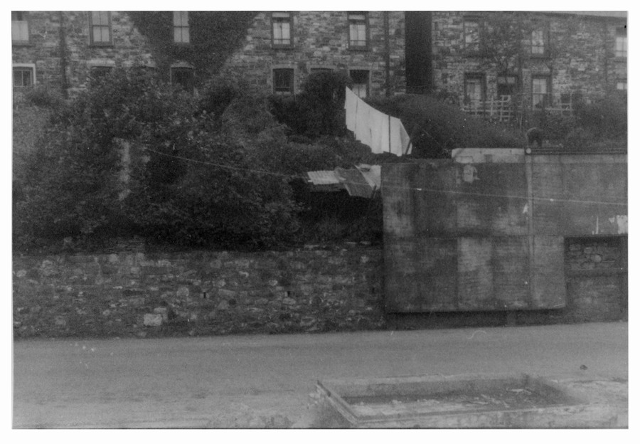
The Mission Hall Today this would be at the top end of the Catholic school playground. (The 2005 Merthyr Heritage Calendar shows it in a dilapidated state) Just behind the hall to the right, the white building, is the Brewers Arms (probably named after the Dowlais Brewery which was situated close by).The building is now a Nursery. Behind is the very imposing Ivor Tip which was made up of waste material from the Ivor Works. Much of this tip was used as infill when the Cwm was landscaped in the 70's |
Again showing the Brewers arms and Beech Terrace behind it. |
||||||||||||
|
|
|
||||||||||||
|
Picture 4 Garth Lane Chapel. Behind it you can see the Catholic Church. |
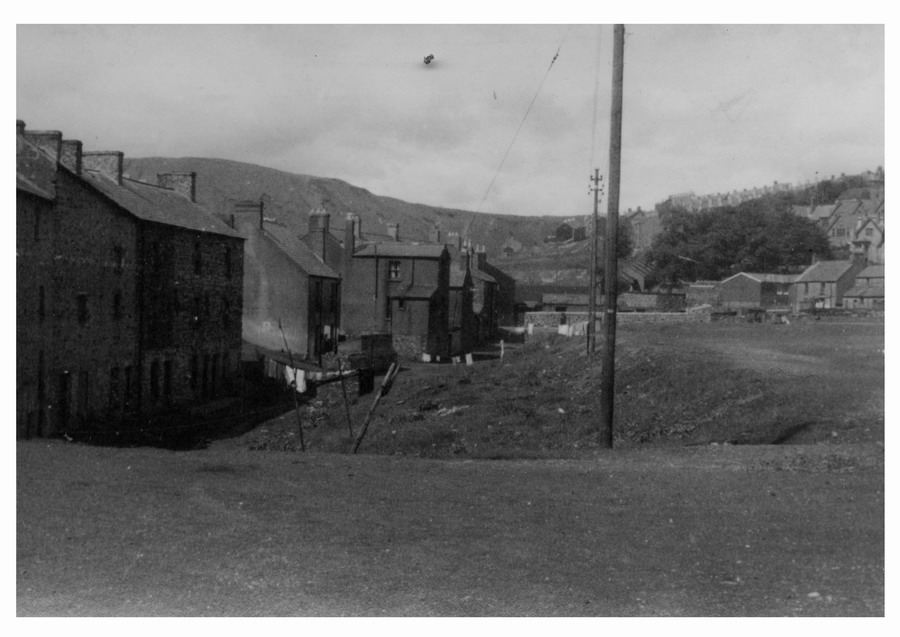
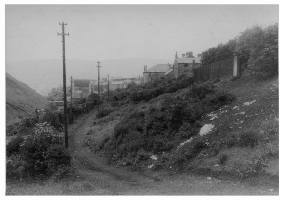
Picture 5 This is taken from the Bont field (before there was grass on it). At one time the Bont was a hollow until the Gas Works arrived and tipped all its waste there. If you cut yourself playing football there it would take weeks to heal. The building in the distance is the Horse & Groom public house. |
||||||||||||
|
|
|
||||||||||||
|
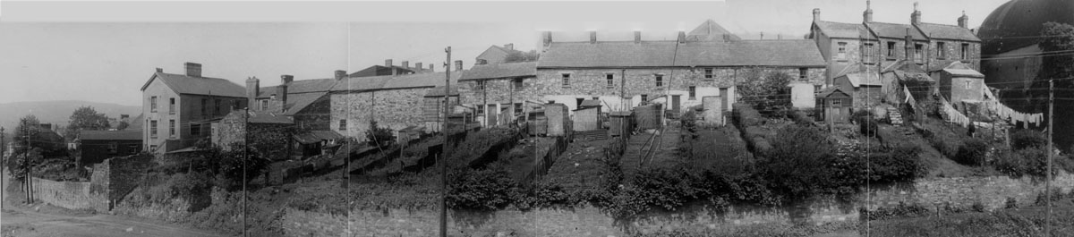
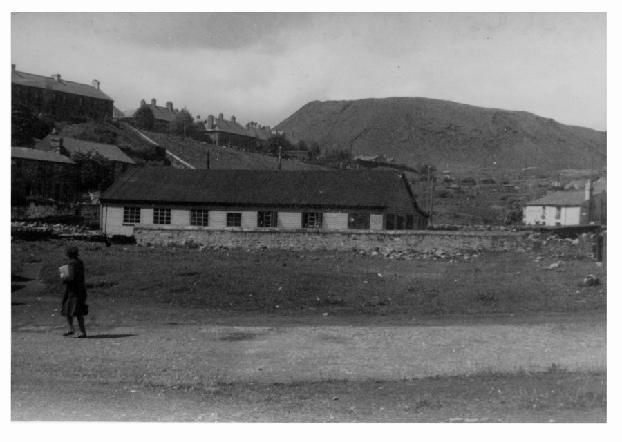
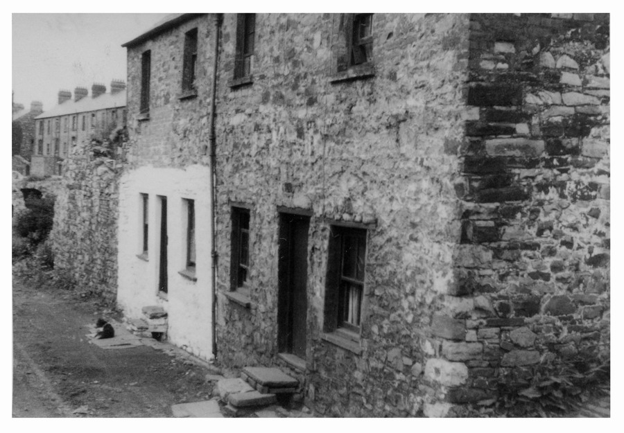
Picture 6.
Gellifaelog Road , or Penydarren High St as it was known before the New Road was constructed at the end of the 19th century. North St/Gellifaelog Tce are on the skyline.
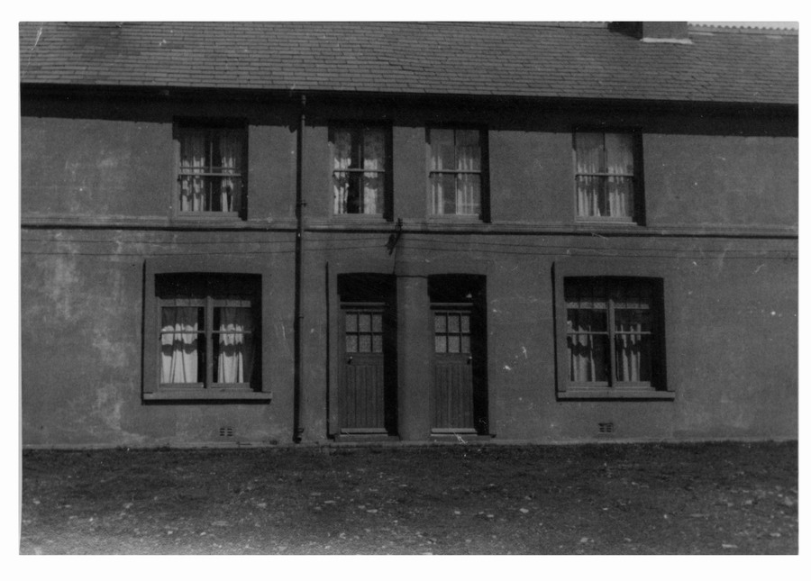
These are the backs of the houses in Pic 5. Each building was actually 2 houses. One of normal construction ie: level with the road and the other was a cellar house, below the level of the road. Living conditions were very unhealthy with damp coming through the backwalls of the rooms. |
|||||||||||||
|
|
|||||||||||||
|
Pictures 7 & 8 |
|||||||||||||
|
Picture 7 |
Picture 8 |
||||||||||||
|
|
|
||||||||||||
|
Pictures 9 & 10 |
|||||||||||||
|
Picture 9 |
Picture 10 |
||||||||||||
|
|
|
||||||||||||
|
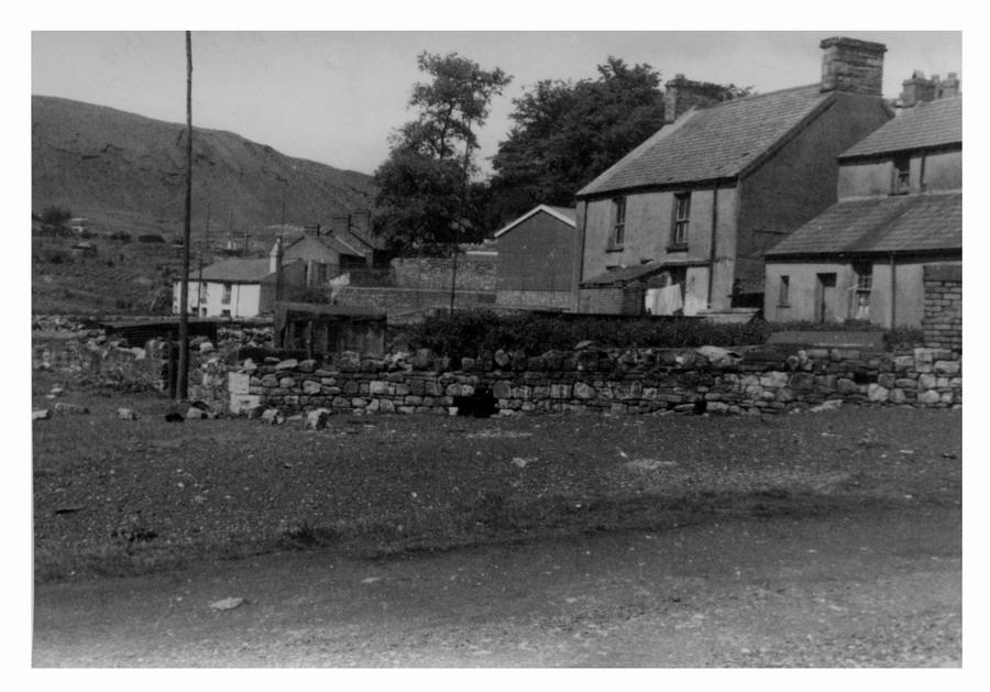
These four photographs are of Gibsons Row. They were located just up from the Norton public house where the road turns into Gellifaelog Road. Its now a grassy bank with trees. |
|||||||||||||
|
Picture 11 |
Picture 12 |
||||||||||||
|
|
|
||||||||||||
|
Picture 13 |
Picture 14 |
||||||||||||
|
|
|
||||||||||||
|
We have crossed the road at the junction mentioned earlier. In one picture you can see clearly the trackbed of the Dowlais Iron Companys Railway. Its hard to believe that 170 years ago goods trains were hauled by locomotives from the D I C wharf at the head of the Glamorgan Canal in Georgetown. They travelled up Bethesda St, along the Promenade (opposite the Theatre Royal,) along the trackbed we're looking at in these pictures then went along Gellifaelog Road curving right someway passed the Horse & Groom and continued on a gradient up Garth Lane crossing Dowlais High St and entering the Works just above where the roundabout is at the top of the New Road. |
|||||||||||||
|
Picture 15 |
Picture 16 |
||||||||||||
|
|
|
||||||||||||
|
Picture 17 |
Picture 18 |
||||||||||||
|
|
|
||||||||||||
|
Picture 19 |
Picture 20 |
||||||||||||
|
|
|
||||||||||||
|
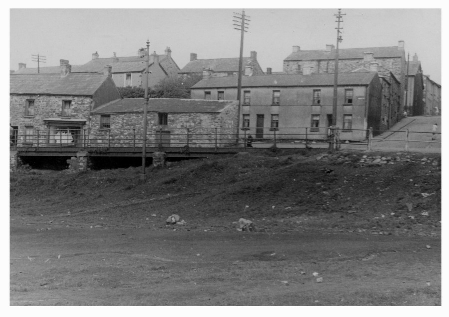
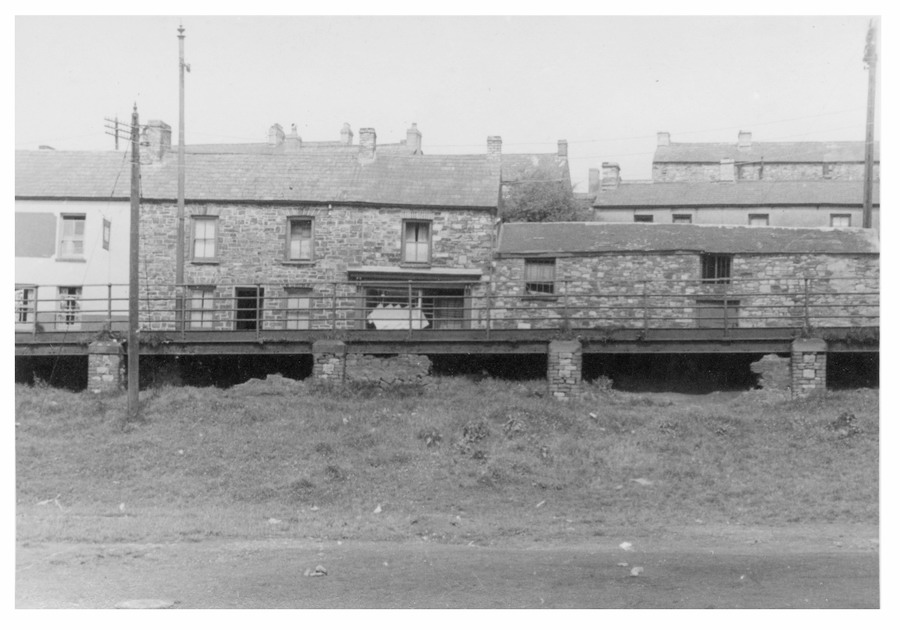
This group of pictures is of Tramroadside, which is the continuation of the Dowlais Iron Co's railway down to the head of the Glamorgan Canal at Georgetown, to the left and below Penydarren High Street. Pic 18 was the home of Tommy Cwmoley. Whitewashed in the traditional manner. Pics 19, 20 & 21 are the rear of Mathias Terrace which was the shopping centre of Penydarren. Next to the Crystal Palace Inn was a large Co-op. There was a Butchers, Newsagents, Italian Cafe, Fish & Chip Shop, Ironmongers, Chemists, Pub(The Talbot) and Penydarren's very own cinema The Cosy. There was simply no need to travel all that way to Merthyr when it was on your doorstep. Pic 22 shows what is left of Company Row. These houses opened onto the railway line! |
|||||||||||||
|
Picture 21 |
Picture 22 |
||||||||||||
|
|
|
||||||||||||
|
Picture 23 The first one is looking up the Tramroad. Along the skyline: L-R is Horeb Chapel, St Johns Church and further along Elim Chapel. |
|||||||||||||
|
|
|||||||||||||
|
Pictures 24, 25, 26
Notice the old tradition of whitewashing the lower part of the houses. Out of picture to the right of the cinema was the Talbot Inn and the Kenya Cafe which was allegedly used by women of ill repute. |
|||||||||||||
|
Picture 24 |
Picture 25 |
||||||||||||
|
|
|
||||||||||||
|
Picture 26 |
|||||||||||||
|
|
|||||||||||||
|
Picture 27 shows Hughes
the Blacksmiths new works which on one side had a
right of way underneath it for people heading to or from Penyard . |
|||||||||||||
|
Picture 27 |
Picture 28 |
||||||||||||
|
|
|
||||||||||||
|
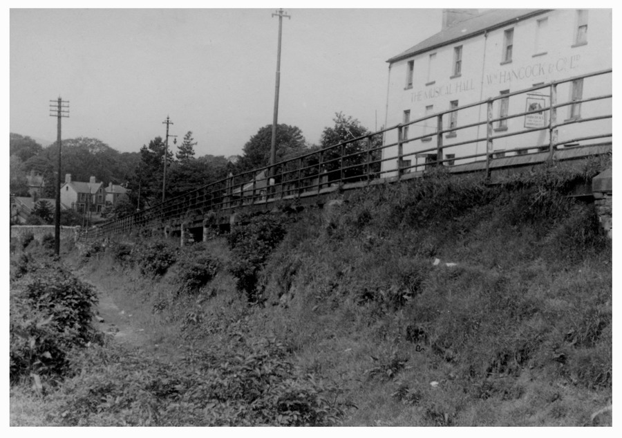
Pictures 29, 30, 31, 32.. We are now at the bottom of Penydarren High St. In there first 2 pictures we are looking at Oakleys The Butchers with its own slaughterhouse at the side. The houses behind and to the right of picture were mainly built in the 1820/30's and occupied primarily by employees of the Penydarren Iron Company. The road behind the butchers was once a tramroad that brought limestone from the quarries below Morlais Castle to the furnace tops of the ironworks. This tramroad was later known as Goitre Lane. On the tramroad just behind the County school was a large grocery warehouse which belonged to John Evans and supplied their chain of grocery stores in Merthyr and Aberdare. The lower pictures show two hostleries -The Penydarren Inn and The Musical Hall Inn. The last landlord of the Pen was Vince Harris one of the founder members of the Merthyr Historical Society. The Musical Hall Inn had by the 1960's become a transport cafe and overnight accommodation for long distance lorry drivers, who parked their vehicles on the open ground in the first two pictures. Notice, when the road was widened, the pavement was built using steel girders with brick supports. In the very distance of the R-H-Side picture you can see the houses at the bottom of the Avenue. The approximate location of these 4 pictures is the roundabout and the Penydarren Social Club. |
|||||||||||||
|
Picture 29 |
Picture 30 |
||||||||||||
|
|
|
||||||||||||
|
Picture 31 |
Picture 32 |
||||||||||||
|
|
|
||||||||||||
|
Picture 33 This is a small spring that is flowing into the Morlais Brook. It starts its journey high up in Penybryn, travels through Royal Crescent Allotments, through the field where Bishop Hedley now stands down the side of Briars Mead (old County Grammar site), under the road and into the brook. |
|
||||||||||||
|
|
|||||||||||||
|
Go To |
|||||||||||||
|
|||||||||||||


_25-6-46.jpg)
-_25-6-46.jpg)
_2-7-47.jpg)
.jpg)