![]()
![]()
![]()
![]()
![]()
![]()
|
The Cwm |
|||||
|
Merthyr Tydfil |
|||||
|
|||||
|
The Cwm (Photograph Courtesy of Douglas Prosser) |
|||||
|
|
|||||
|
|
|||||
|
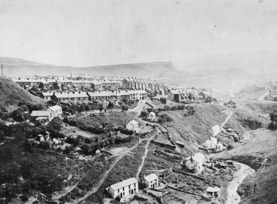
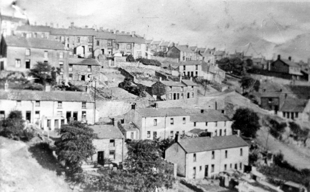
The Cwm - 1926. Looking North, towards Pant |
|||||
|
|
|||||
|
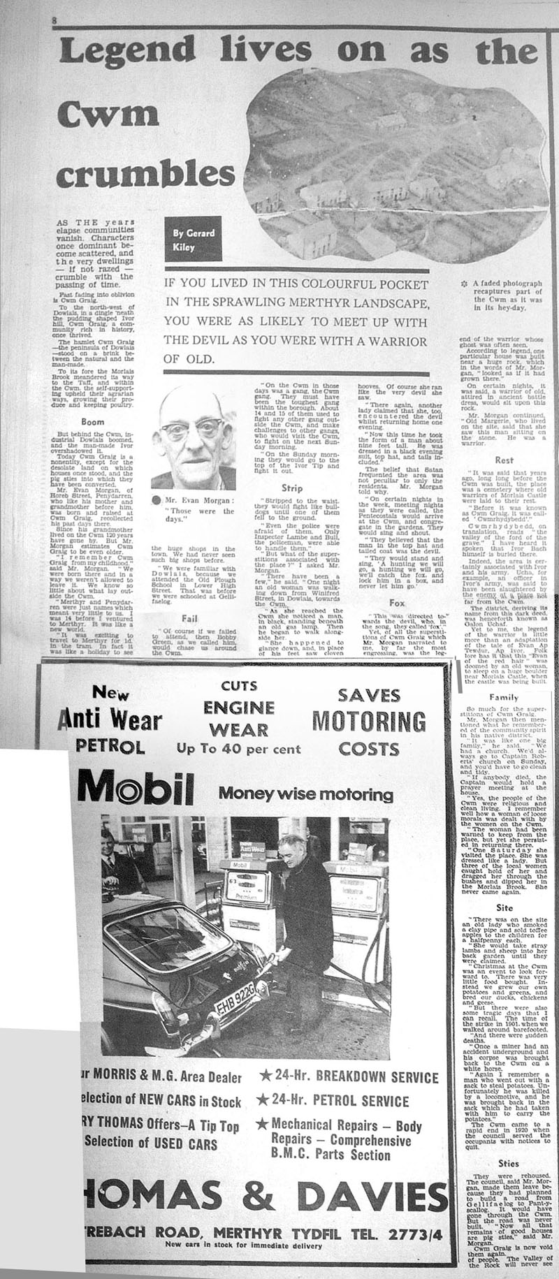
Merthyr Express article by Gerard Kiley. <Click on the image to enlarge> (Reproduced here with his kind permission) |
|||||
|
|
|||||
|
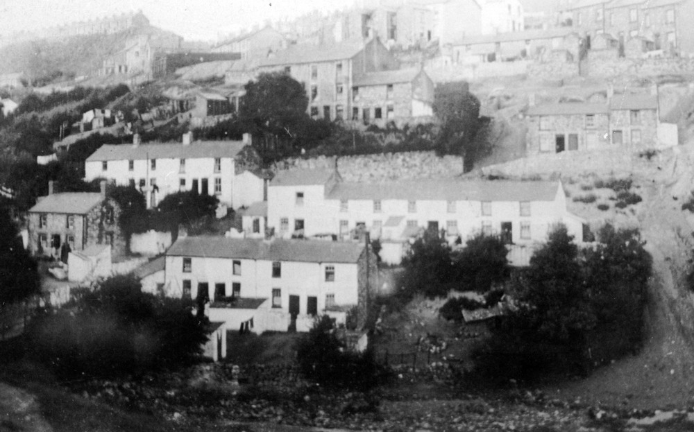
The Cwm - 1926. Looking East, the house in the top right hand corner is at the corner of Balaclava Road, and Regent Street. |
|||||
|
|
|||||
|
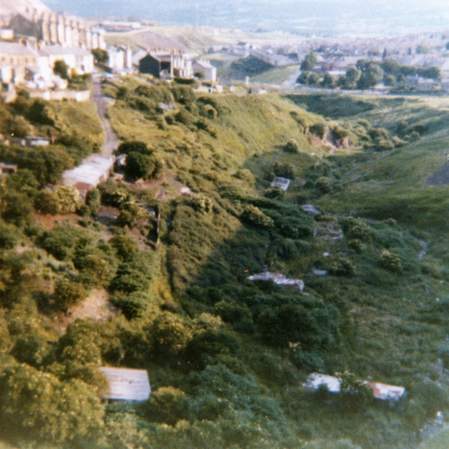
The Cwm - 1940's The houses in the background are now currently the Heads of the Valleys Road (Photographs courtesy of Brian Wall) |
|||||
|
|
|||||
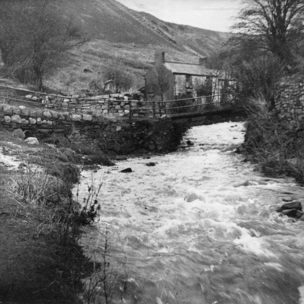
| Old bridge that carried the path that ran from the Rocky Road to Balaclava Road over the Morlais brook. -1946 | |||||
|
|
|||||
|
The following photographs were taken before work started on the culverting of the Morlais Brook. |
|||||
|
The photographs below are courtesy of Doug & Brenda Prosser |
|||||
|
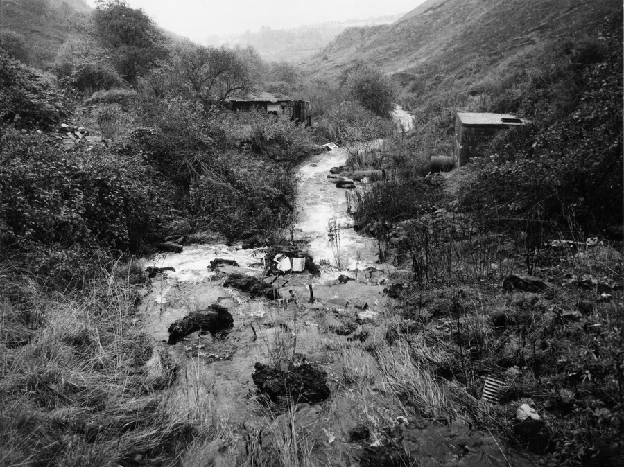
1. The Morlais Brook emerging from it's culvert into the Cwm. |
|||||
|
|
|||||
|
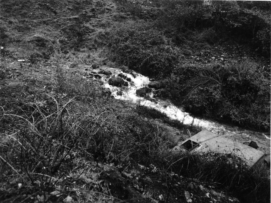
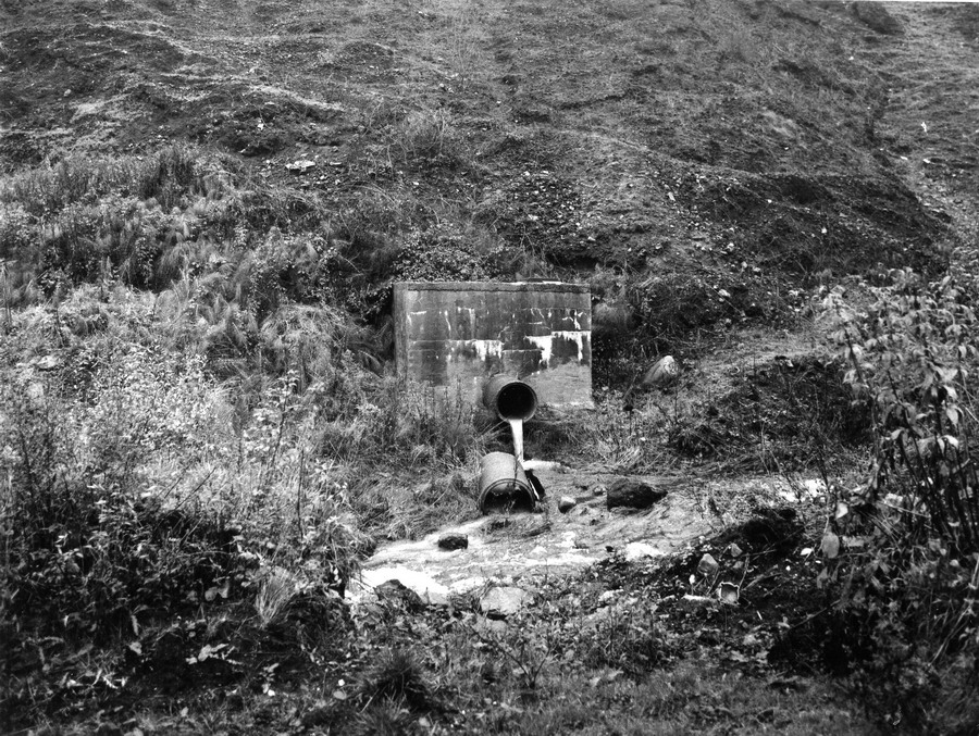
1. The overflow drain from the ‘Heads of the Valley’ A465 Road. |
|||||
|
|
|||||
|
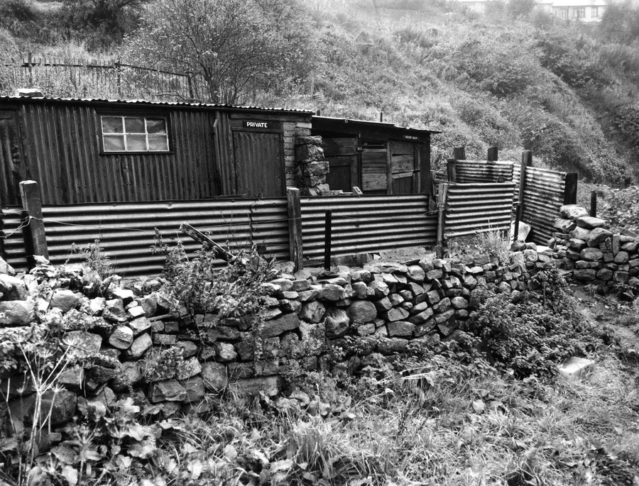
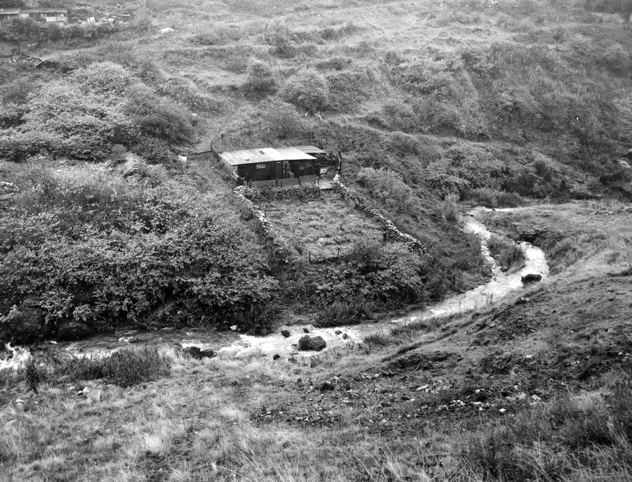
1. The stable in the centre belonged to Gwyn Williams. To the right, the overflow drain from the ‘Heads of the Valley’ A465 Road. |
|||||
|
|
|||||
|
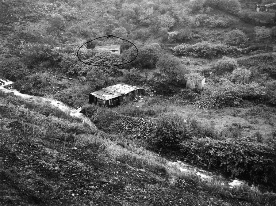
1. Circled is Ronnie King’s old stable. Gwyn Williams possibly owned the stable in the centre. Glanmor & Brian Davies' Stable can just be seen in the top right hand corner. |
|||||
|
|
|||||
|
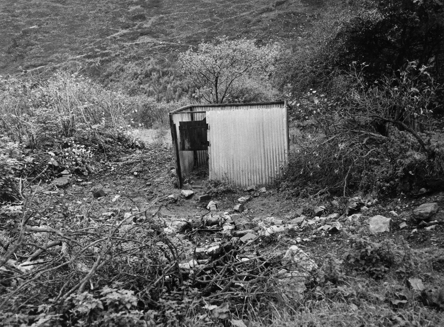
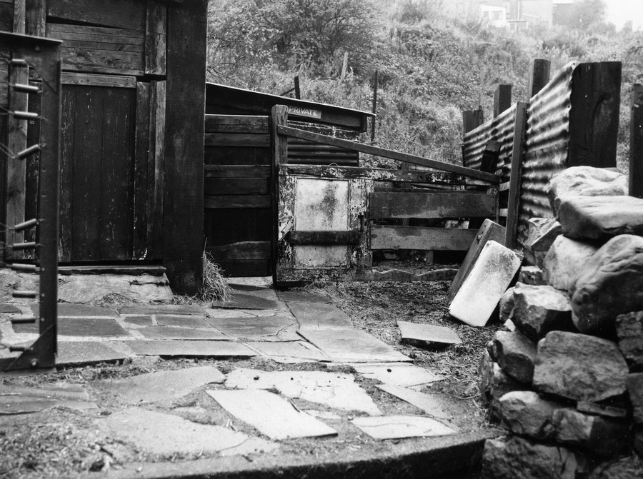
1. Probably Gwyn Williams’ Stable. |
|||||
|
|
|||||
|
1. Another of Gwyn Williams’ stables. |
|||||
|
|
|||||
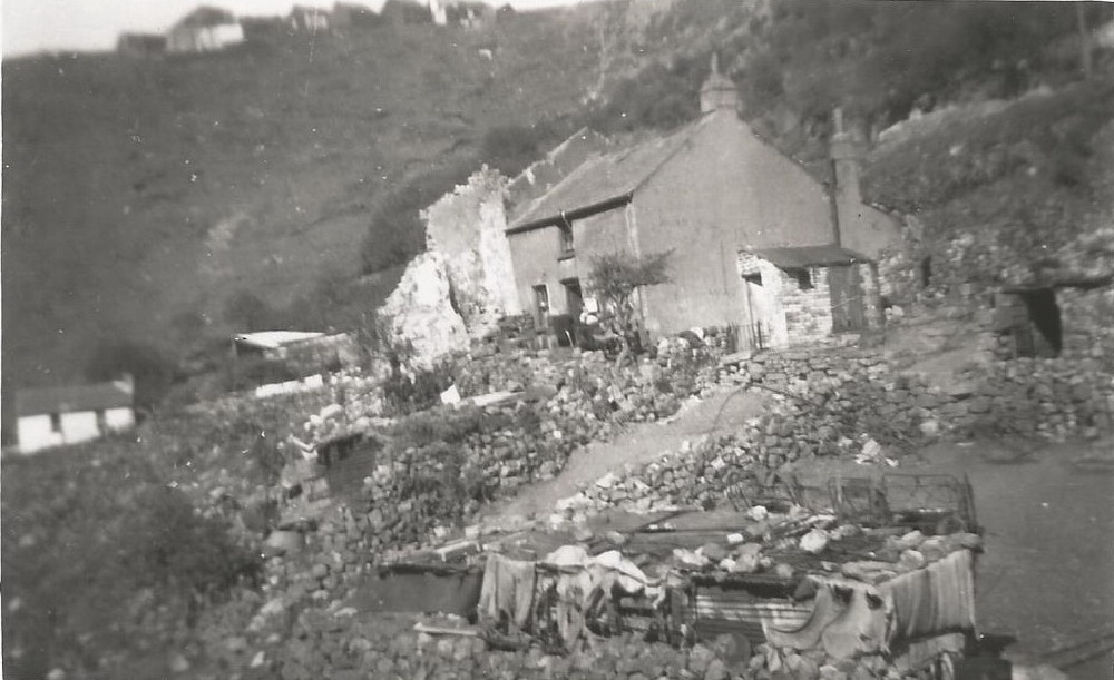
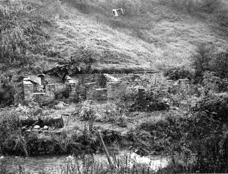
| The ruins of three houses. | |||||
|
|
|||||
|
The ruins of the three houses mentioned above, also to the right, out of this picture are the remains of a further three houses. Top left is a disused 'Dog Shed' which belonged to Jackie Popp, he kept Greyhounds. The ruined stables on the lane at the back of Winifred Street; belonged to Arthur Mold and then Willy French. |
|||||
|
|
|||||
|
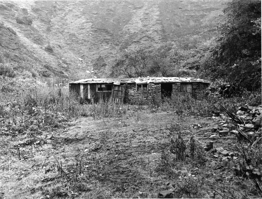
1. Ronnie King’s Stable. |
|||||
|
|
|||||
|
1. John Murphy’s Stable to the right. The Ivor Tip can be seen in the background. To the right of the billboards which line the 'Heads of the Valley' road, the stables of Tommy Axon, Peter Speroni & Clarkes the Corn Merchants' can be seen. |
|||||
|
|
|||||
|
1. John Murphy’s Stable. Winifred Street can be seen, in the top right hand corner. |
|||||
|
|
|||||
|
John Murphy's Stable. |
|||||
|
|
|||||
|
1. John Murphy’s Stable taken from the other side of the river. There are remains of houses to the right, the owner of the houses had the stables. The top left hand is the Pig Cots belonging to the Prossers. |
|||||
|
|
|||||
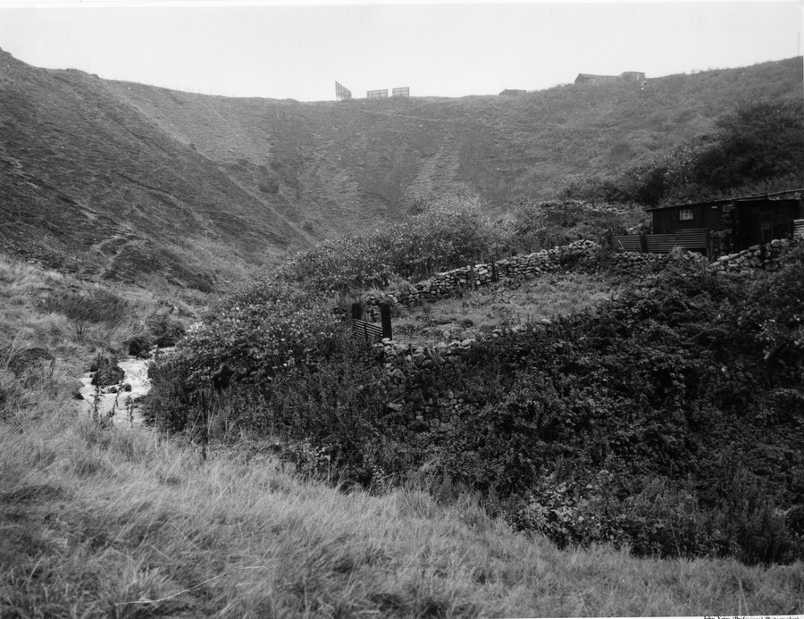
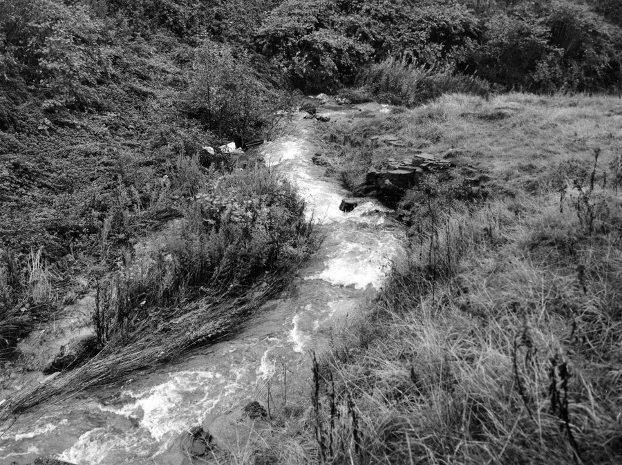
| The Morlais Brook. | |||||
|
|
|||||
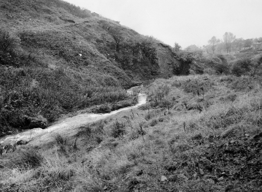
| The Brook again, the Rocky Road can be seen in the distant top right hand corner. | |||||
|
|
|||||
|
Do you have any photographs or information for this page? If so please email us, by clicking the 'Contact Us' Button. |
|||||
|
To The Map |
|||||
|
|