![]()
![]()
![]()
![]()
![]()
![]()
|
Pontsticill |
|||||||||||||||
|
Merthyr Tydfil |
|||||||||||||||
|
|||||||||||||||
|
|
|||||||||||||||
|
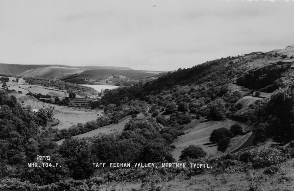
The Taff Fechan Valley (Postcard Courtesy of Clive Bevan) |
|||||||||||||||
|
|
|||||||||||||||
|
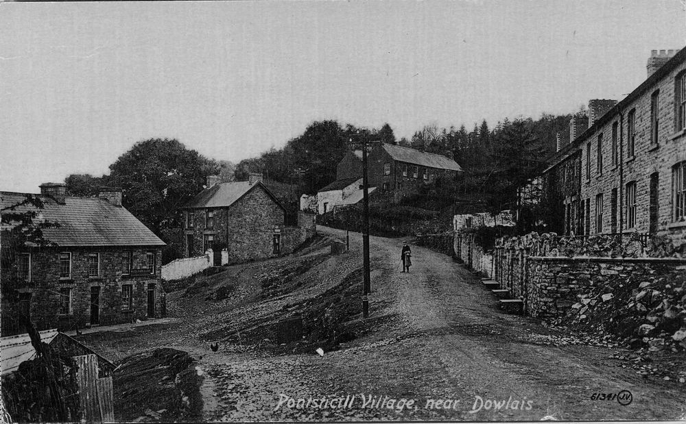
Pontsticill Village This is looking down the hill into the village. The Butchers Arms can just be seen to the left, and behind the big tree. |
|||||||||||||||
|
|
|||||||||||||||
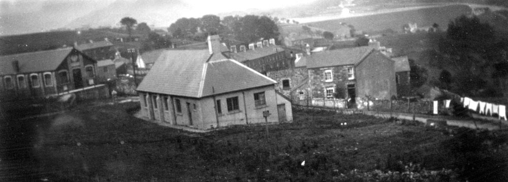
| The Village Hall - Pontsticill | |||||||||||||||
|
|
|||||||||||||||
|
Pontsticill, the Urinal that was next down from the Village Hall. (Photograph Courtesy of the John Owen Collection) |
|||||||||||||||
|
|
|||||||||||||||
|
Pontsticill Village with the Butchers Arms at the top of the hill. |
|||||||||||||||
|
|
|||||||||||||||
|
Pontsticill (Photograph Courtesy of Tom Heir) |
|||||||||||||||
|
|
|||||||||||||||
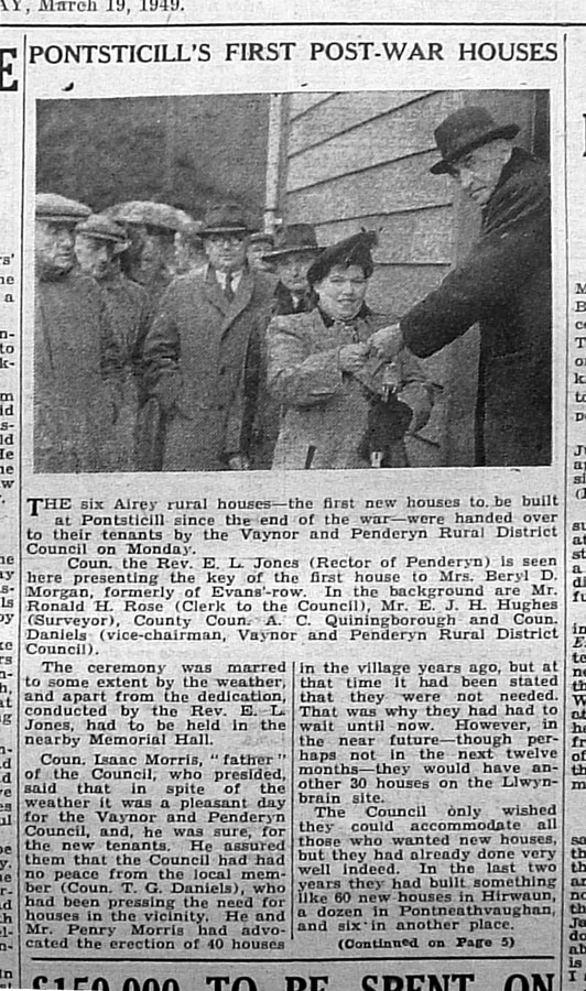
| From the Merthyr Express 19th March 1949 | |||||||||||||||
|
|
|||||||||||||||
|
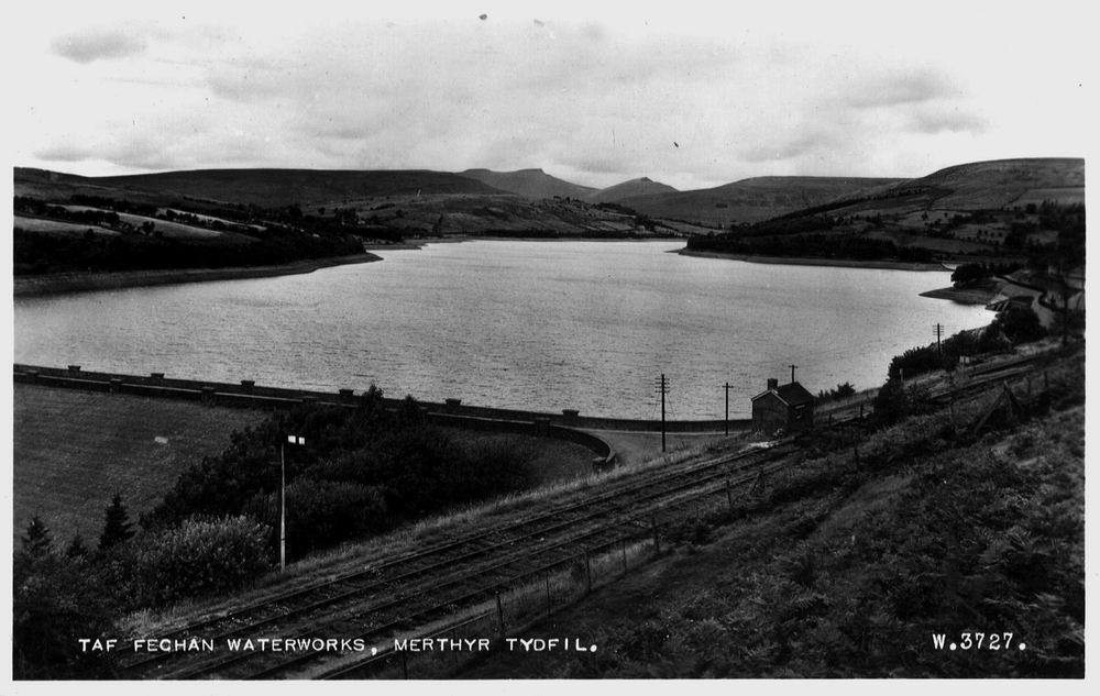
Taff Fechan Reservoir This shows the reservoir before the Forestry Commission planted thousands of fir trees. In the foreground is the B&M line from Pontsticill Junction to Pant then Dowlais Top and eventually Newport. |
|||||||||||||||
|
|||||||||||||||
|
Pontsticill Station This was a junction where you would change trains for Brecon to the north and Newport to the south. |
|||||||||||||||
|
|||||||||||||||
|
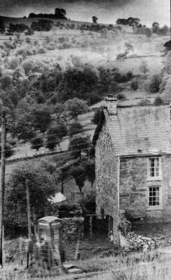
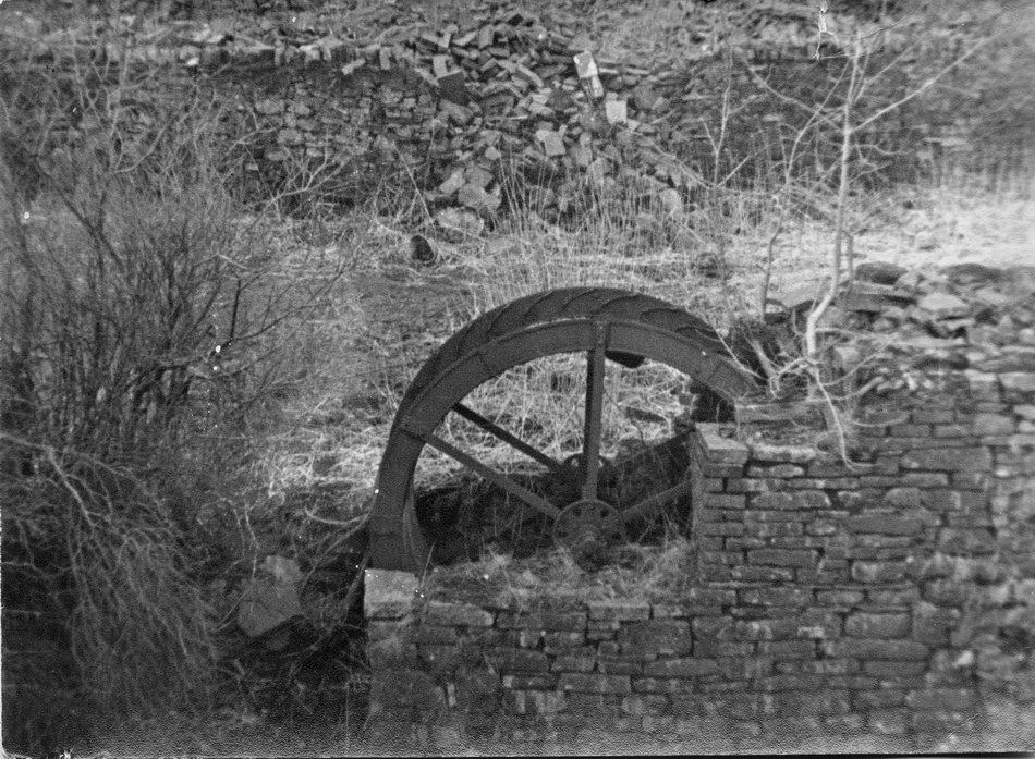
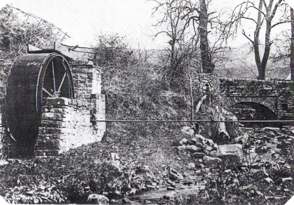
Old Waterwheel Near bottom of hill leading up to Torpantau from the direction of Dolygaer. What was it used for? (Photo Courtesy of Cyril Pugh) |
|||||||||||||||
 |
|||||||||||||||
 |
|||||||||||||||
|
Taff Fechan Reservoir during a Drought Revealed is the Entrance arch to the old Bethlehem Independent Chapel - built in 1828, (Photograph Courtesy of Robert Thomas, West Grove). |
|||||||||||||||
 |
|||||||||||||||
|
Bethlehem Independent Chapel Built 1828 flooded by the building of the reservoir. (Drawing Courtesy of Dewi Bowen) |
|||||||||||||||
 |
|||||||||||||||
|
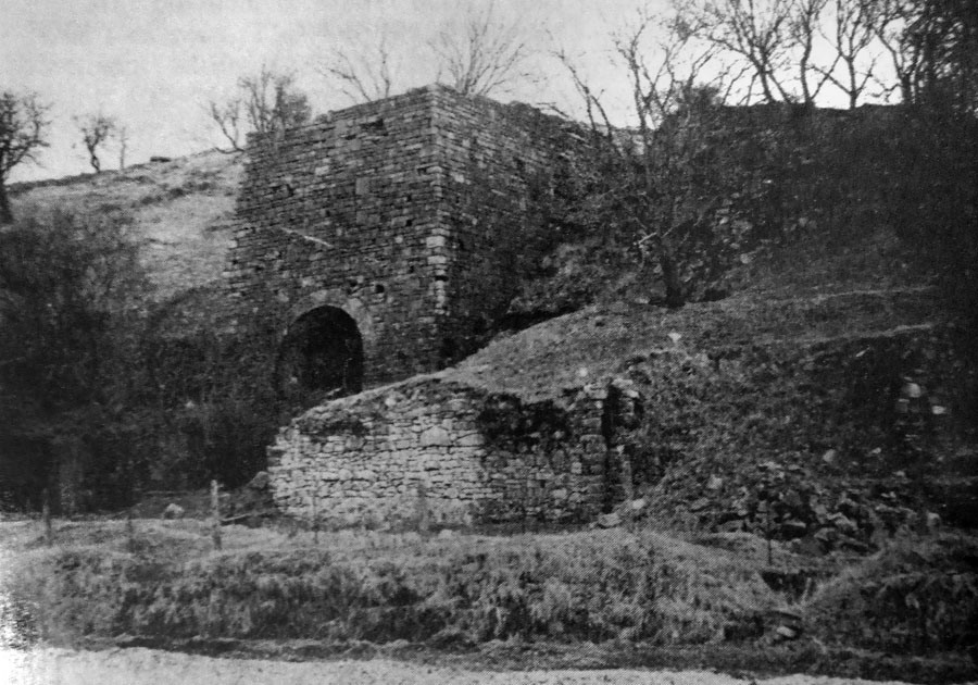
Ponsticill Lime Kiln - 1965 |
|||||||||||||||
 |
|||||||||||||||
|
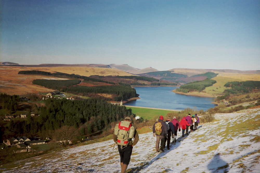
Merthyr Ramblers on the Hills above Pontsticill |
|||||||||||||||
 |
|||||||||||||||
|
Do you have any photographs or information relating to Pontsticill, Merthyr Tydfil? If so, please contact us, by clicking the 'Contact Us' button. |
|||||||||||||||
|
To the Map |
|||||||||||||||
|
|